July 2025 Updates
31 July 2025
It’s been a busy month with team members traveling, enjoying summer and family time, and creating more than a dozen new skills tutorials for QGIS—bringing our collection to more than 130 tutorials and closer to parity with ArcGIS skills training materials as we all prepare for the fall.
happy GIS-ing,
Leah
Updates from the Month
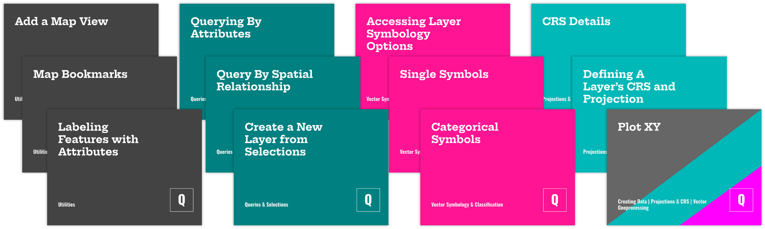
Several new tutorials in QGIS were published in July including…
some new skills tutorials
Mapping utilities like Labeling Features (with values from an attribute table), Adding a Secondary Map View to a project, Rotating a Map Canvas, and Using Bookmarks for Map Views.
Creating new point datasets by Plotting X,Y Coordinates from a table.
Using queries and selections for vector features including Querying by Attributes, Querying by Spatial Relationship, and Creating a New Layer from Selected Features.
Adding to the sequence of tutorials on coordinate reference systems with Accessing (and Modifying) the details of a CRS and Defining the CRS of a Vector Dataset.
Developing the starter sequence of tutorials on vector symbology and classification with Accessing Symbology Options, Single Symbols for Vectors, and Categorical Symbols for Vectors. These are the first in a new collection featured on the Skills Tutorials page, under Mapping Data.
Forthcoming Content & Ways to Support
With these new tutorials, we are one step closer to publishing the first of several scenario-based, context-driven exercises for learning GIS methods and software. The exercises will include links to the software skills necessary for completing the exercise (with both or either ArcGIS Pro and QGIS). These will be available for Mapping 101 members as a Thank You for supporting the development of our resources. Supporter memberships will be offered along with the publication of the first exercise.